SIGN UP
FOR DISCOUNTS, NEWS AND EVENTS BY EMAIL
Visit Albuquerque prohibits users from downloading images from our website.
Please use our media library for downloadable images and usage rights.![]()

Head east on I-40 for 17 miles to Tijeras (exit 175) and turn south on NM 337. Grab a to-go lunch at the local sandwich shop if you’re hiking, then stop at the Cibola National Forest office (.5 mile) for maps and to see the Tijeras Pueblo Archaeological Site. The ruins were occupied 1313 to 1425 AD. After initial excavations in 1976, most of the remains were backfilled to aid preservation.

Heading south, NM 337 winds through the scenic piñon-juniper hills and canyons of the Manzano Mountains. Tiny farming villages along the way date back 300 years to Spanish Land Grants. At the T-intersection of NM 55, turn right (west) to Tajique. Just through town, turn right on the dirt FS 55. RVs and cars should have no problem. The 4th of July campground (24 sites, with no water or hook-ups) and trailhead are about 7.5 miles.
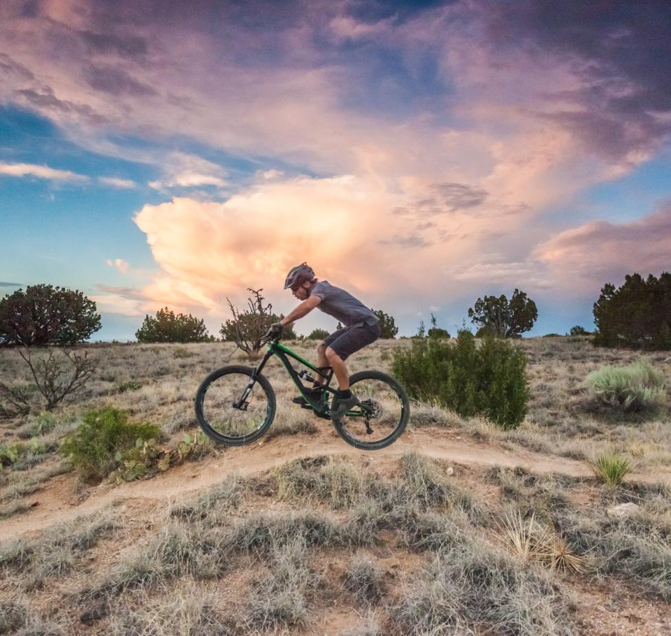
Densely wooded with bigtooth maples, 4th of July Campground and Trailhead is glorious any time of the year, but in early October the forest blazes with hues of burgundy, reds and oranges. A one-mile, moderately-easy trail leads through the most spectacular portion of the canyon. At the head of the canyon, return or continue on the 6.5-mile loop. A spur leads to the ridgetop for tremendous views of the Rio Grande and Estancia valleys. The trail winds past viewpoints and along a spring-fed creek, then back to FS 55 for the last mile.
For more hiking options, visit Manzano Mountains State Park, 4 miles southwest of Manzano on NM 131. The park’s five miles of interconnected trails, rated easy to moderate, lead through a forest of ponderosa pine and alligator juniper. Picnic tables, water and campsites, some with hook-ups, are available.
Mountainair, located 10 miles from the geographic center of New Mexico, once called itself “The Pinto Bean Capital of the World.” Now, the village of 1,300 is a haven for mainstream and outsider artists. Main Street looks straight from a 1940s movie set. The Pueblo-Deco Shaffer Hotel (1923) still rents rooms and serves breakfast and lunch. Galleries, cafes and small-town businesses line Main Street.
Mountainair is the hub for the three pueblos of the Salinas Pueblo Missions National Monument located north, south and west of town. Stop at the Visitor Center for info and an orientation film, then head out to see the remains of the once thriving pueblos.
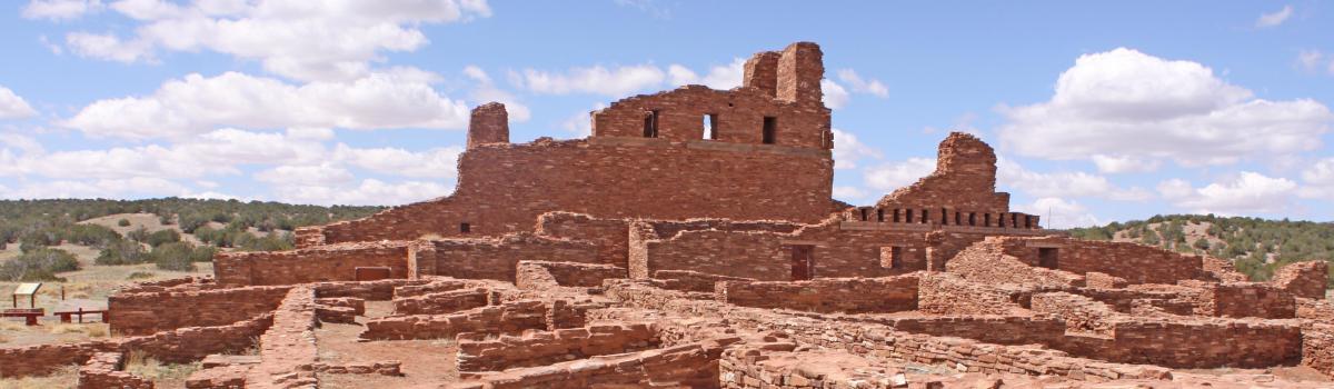
The first Spanish explorers in 1583 found 11 pueblos in the area with a combined population of 40,000. Remains of pit house villages indicate humans arrived 12,000 years ago. The pueblo complexes flourished as cultural and trading centers for 800 years. The pueblo people hunted game in the mountains, grew corn, beans and squash, and mined salt from nearby deposits in ancient lake beds. (Salinas is Spanish for salt mines.) As a major commodity, salt was traded to tribes from hundreds of miles away for bison meat, flint and other raw materials.
In 1598, Don Juan de Oñate arrived and forced the pueblo leaders to sign the Acts of Obedience to the King of Spain. Small churches were built at the three pueblos in the 1620s. Larger churches followed. The most complete church stands at Gran Quivira. Now, the silhouettes of the massive walls stand in silent memorial to a people that faded away and left only mud bricks and hints of grandeur.
Under the Spanish, the pueblo people suffered from forced labor, new diseases and confiscation of crops to such extremes that a 10-year drought in 1660 seriously decimated their population. After eight centuries of living sufficiently and developing a complex social and religious culture, the surviving pueblo people abandoned their homes and migrated to the pueblos along the Rio Grande. In 1680, the remaining pueblos revolted en masse, sacked the churches, killed the priests and drove out the Spanish, who returned in 1692 for the bloodless Reconquest.
To reach Gran Quivira from Mountainair, go 26 miles south on NM 55; Quarai, 8 miles north on NM 55 and 1 mile west; Abó, 9 miles west on US 60 and one-half mile north on NM 513. Return to Albuquerque via US 60 west to NM 47 and north to Belen, then I-25 to Albuquerque.
The city of Albuquerque sits at a mile above sea level (5,000-6,000 ft. elevation) and has a high-desert... More
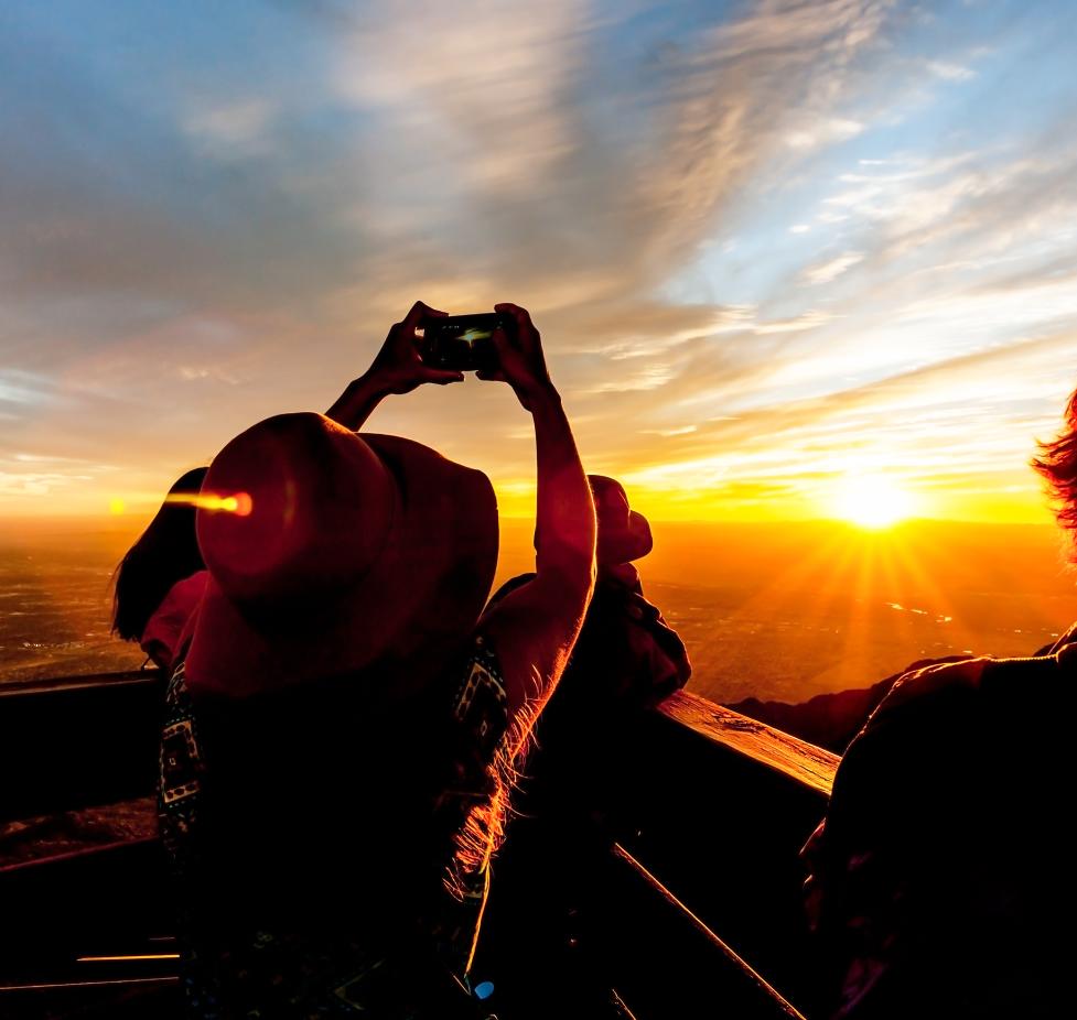
Albuquerque has fun for all ages, see our family fun page to learn more! More

Looking for discount hotel rates in Albuquerque, New Mexico? Albuquerque is home to legendary... More